October 1, 2026 ·8 min read
By Jaron Denson, owner and aerial director of photography at Drone Tech Aerial. FAA Part 107 remote pilot, flying productions in Los Angeles since 2012.
Cinema Drone Wind Limits: Santa Ana Winds, Sea Breeze, and When We Call the Day
The text usually arrives the night before: “It’s supposed to be windy tomorrow. Are we still flying?” The honest answer depends on three things a weather app shows badly: the wind at the altitude we fly, the spread between sustained wind and gusts, and what the aircraft is carrying. This post explains how each of those changes the answer, what the manufacturers actually rate the aircraft for, and how a Los Angeles aerial day gets planned around the wind instead of cancelled by it.
What the manufacturers rate the aircraft for
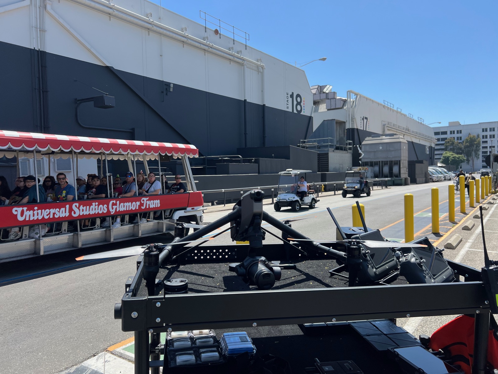
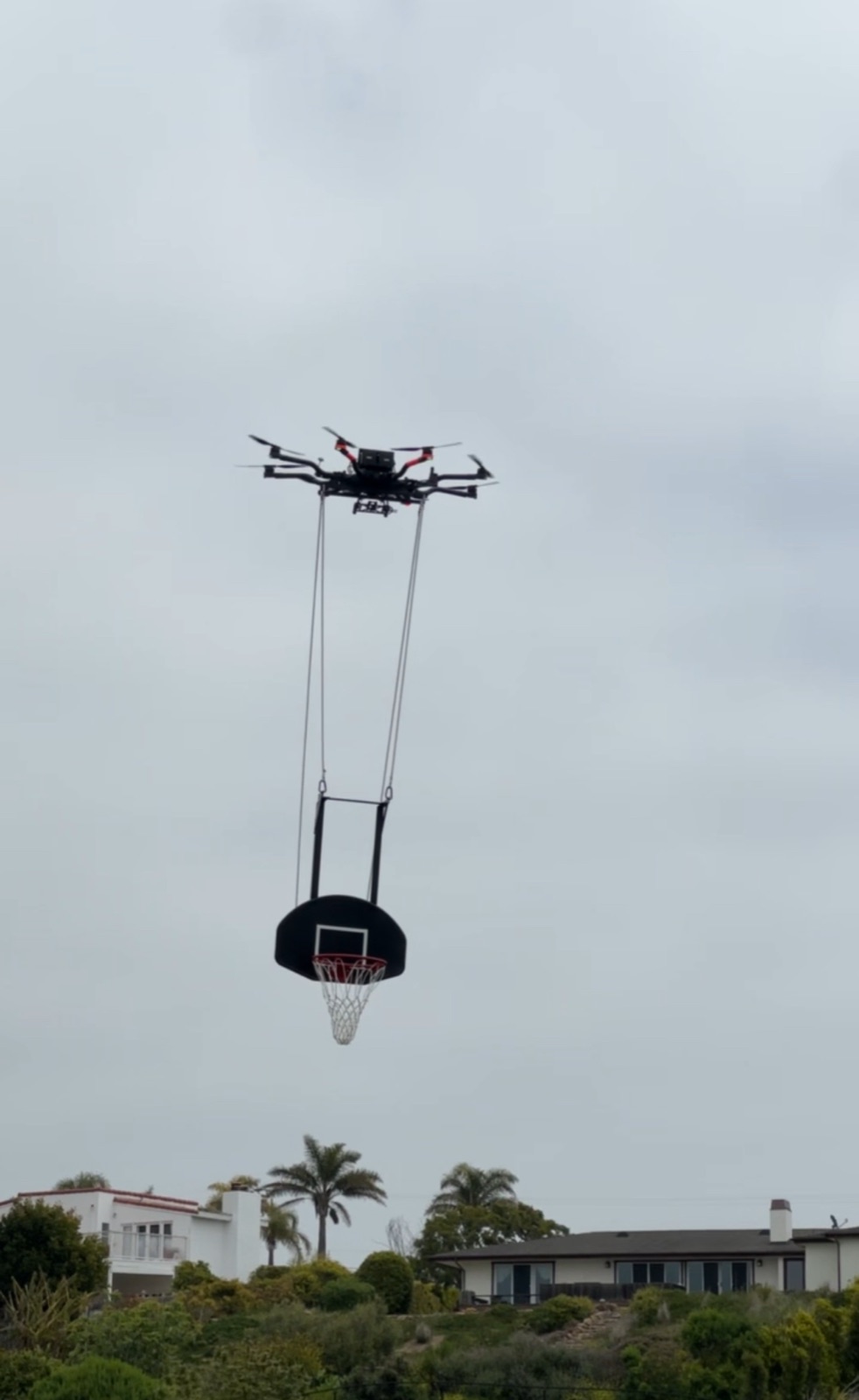
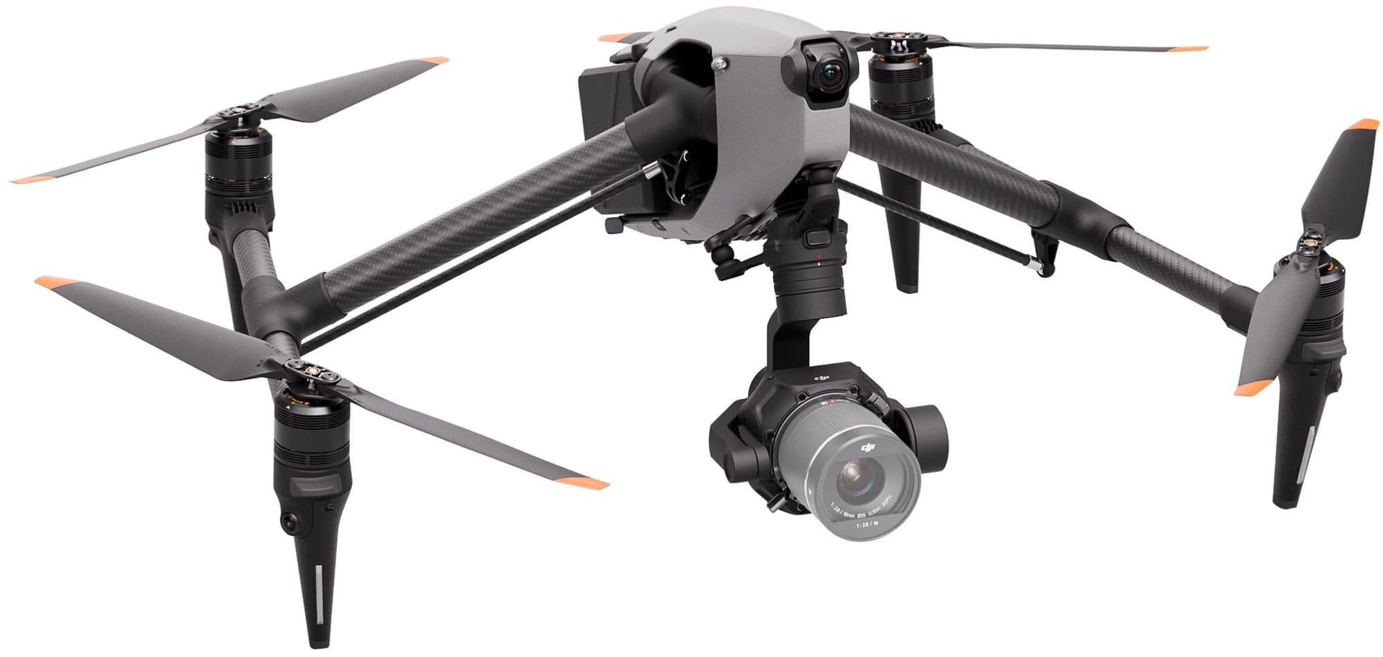
DJI publishes a maximum wind speed resistance for each aircraft. For the Inspire 3 and the Mavic 3 Cine it is 12 meters per second. For the Inspire 2 it is 10 meters per second. In the units a forecast shows, 12 meters per second is about 27 mph, or 23 knots. Freefly does not publish a single wind figure for the Alta 8 in the same form, because a heavy-lift aircraft’s margin depends on what is bolted underneath it. An Alta 8 carrying an ARRI Alexa Mini package is a different aircraft in the wind than an Alta 8 carrying nothing, and the limit is set by the pilot against the payload and the day.
| Aircraft | Manufacturer wind rating | What it means on set |
|---|---|---|
| DJI Inspire 3 | 12 m/s (about 27 mph) | Holds position at the rating; margin for the move is gone |
| DJI Mavic 3 Cine | 12 m/s (about 27 mph) | Lighter aircraft, pushed around more at the same number |
| DJI Inspire 2 | 10 m/s (about 22 mph) | Older airframe, lower rating |
| Freefly Alta 8 | Not published as a single figure | Set by pilot judgment against payload and conditions |
The rating is the point at which the aircraft can still hold a hover. It is not the point at which a camera move is still smooth, a landing is still safe, or a battery still lasts the shot. Those come first.
Why the rating is not the limit
A multirotor holds position by leaning into the wind. The harder it leans, the less thrust is left over for climbing, stopping, and correcting the next gust. At the rated figure the aircraft is spending most of its margin standing still. The shot needs that margin for the move.
The gimbal has its own job. A three-axis gimbal levels the horizon through the lean. It cannot level a gust that moves the whole aircraft a foot sideways. That shows up in the footage as a bump in the middle of an otherwise clean move, and it is the reason a day that is “flyable” can still produce takes the editor cannot use.
Wind costs battery. Every correction is motor power. A flight that gives twelve minutes in calm air gives less in a steady wind and noticeably less when the aircraft is fighting gusts. The same thing happens with cold and altitude, and the three stack on a winter day in the high desert.
Wind at the camera is not wind at the sand. A handheld reading at ground level undercounts what the aircraft meets two hundred feet up, above the trees and rooflines where the air is stronger and steadier. Near buildings, ridgelines, and canyon mouths it is also rougher: the air rolls off an edge and comes back as turbulence rather than a clean push. A pass along a bluff face in a crosswind is a harder flight than the forecast number suggests.
Landing is the hard part. The aircraft is lowest, slowest, and closest to people when it comes home. A gust on final approach is what puts an aircraft into a wall, and it is the moment the limit is really being set for.
So the figure the pilot flies to is below the rating, by a margin that grows with the payload. A Mavic on a location scout and an Alta 8 with an Alexa Mini are not held to the same number, and neither is held to the one on the spec sheet.
Los Angeles wind, by place and by hour
The coast. Along the beaches and the Pacific Coast Highway corridor the pattern is a calm morning, an onshore sea breeze that builds from late morning into the afternoon, and a settling toward sunset. For a Malibu, Santa Monica, or Palos Verdes aerial day, the quiet window is early. If the call sheet puts the drone block at 2 p.m. on the sand, the plan should assume wind and design shots that work with it.
Santa Ana season. From fall into winter, with the worst of it typically October through December, dry offshore wind comes over the mountains and pours through the passes and canyons. Cajon Pass, the Newhall and Santa Susana passes, and the Malibu canyons all funnel it, and gusts in those corridors routinely run far past anything a cinema drone is rated for while the flats a few miles away are calm. The National Weather Service issues red flag warnings on those days. A red flag warning is not only a wind problem for the aircraft. The fire safety officer and the permit conditions can halt operations regardless of what the aircraft could handle, and a fire can put up a temporary flight restriction with no notice at all.
The valleys and the high desert. Lancaster, Palmdale, and the Willow Springs area give calm mornings and afternoon thermals, sometimes with dust devils. The ranges we fly off-road racing in have the same shape to the day, which is one reason desert race coverage is built around the morning.
The marine layer is the coast’s other weather story. It is not wind, but it governs the same hours, and Part 107 has visibility and cloud clearance minimums that it can take away.
How we make the call
The night before. We look at the forecast for the location, not the city, with the hourly gust figures, and we check the Weather Service for advisories. The hour matters more than the day. A forecast that reads “windy” usually has a four-hour window in it that is not.
The morning of. An anemometer reading at the launch site, then a short test hover with no camera move on it, to feel what the air is doing at the altitude of the shot. The pilot reports that to the first assistant director in plain terms: what the aircraft can do in this air, what it should not, and how long that is likely to hold.
During the block. A visual observer watches for the gust front before it arrives, in the trees, the dust, or the texture on the water. The shots get ordered for the air: hover-heavy work in the calmest window, with-the-wind passes when it picks up, nothing that parks the aircraft over the crew at the edge of its margin. Downwind legs are fast and upwind legs are slow, and a move that has to be the same speed in both directions is planned across the wind instead.
The decision. Under Part 107 the remote pilot in command is responsible for the flight, including the preflight assessment of the weather, and the no-fly call is the pilot’s. A producer cannot override it and should not want to. What we give the production instead of a no is a plan: the shot list re-ordered around the calm window, a lighter aircraft swapped in where the Alta 8 is not the right call, a lower pass that works in the wind in place of a hover that does not, or a weather hold with a stated re-check time. Most windy days end with the shot in the can and the day’s order moved around.
What it means for the schedule
Put the aerial block where the air is, not where it is convenient. On the coast that is morning. In Santa Ana season, check the forecast three days out and hold a cover set. Ask the aerial unit for its weather plan in writing. Ours is in the plan of activities that goes to the production before the call sheet, alongside the airspace and the insurance, so the first assistant director knows the wind plan before the day starts rather than at the moment it starts to blow.
FAQ
What wind speed is too high for a drone?
For cinema drones the manufacturer ratings are the ceiling, 12 meters per second for the Inspire 3 and Mavic 3 Cine, about 27 mph. The working limit is lower than that and is set by the pilot against the gusts, the payload, and the shot. We plan against the gust figure, not the sustained one.
Can cinema drones fly in Santa Ana winds?
In the flats on a mild Santa Ana day, often yes, with the plan built around the morning. In the passes and canyons during a red flag warning, no, and on those days the fire safety officer and the permit conditions can stop the operation before the wind does.
Does wind reduce drone flight time?
Yes. Holding position and correcting gusts is motor power, so a flight that gives twelve minutes in calm air gives less in wind, and less again when wind, cold, and altitude combine.
Who decides whether the drone flies?
The remote pilot in command, under Part 107. The production gets the reasoning, the alternatives, and a re-ordered day, but the decision belongs to the pilot.
Does Part 107 set a wind limit?
No. Part 107 requires the pilot to assess local weather before the flight and makes the pilot responsible for operating safely. The number is the pilot’s judgment, informed by the aircraft’s rating and the conditions.
Planning an exterior aerial day on the coast, in the mountains, or in Santa Ana season? Book a consultation and we will build the wind plan into the schedule before the call sheet goes out.