October 10, 2026 ·8 min read
By Jaron Denson, owner and aerial director of photography at Drone Tech Aerial. FAA Part 107 remote pilot, flying productions in Los Angeles since 2012.
Drone Filming on PCH and Malibu Beaches: The Permit Stack for Film and Commercial Production
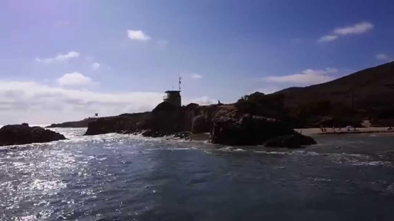
The coast between Santa Monica and the Ventura County line is one of the most requested backdrops in Los Angeles and one of the most layered to permit. The water, the sand, the highway, the bluffs, and the mountains behind them each answer to a different agency, and the aerial unit answers to all of them plus the FAA. This post is the map: who issues what along the corridor, what the airspace does at each end, which wildlife rules no permit overrides, and how a coast aerial day is actually run.
Who owns what along the corridor
The first question on any Pacific Coast Highway drone shoot is not “can we fly” but “where are we standing.” Takeoff and landing happen on the ground, and the ground is what gets permitted.
| Where the aircraft launches, lands, or flies | Who permits it | Notes |
|---|---|---|
| City of Malibu streets, parks, and city property | City of Malibu film permit office | Malibu runs its own program; FilmLA does not cover the city |
| Los Angeles County beaches (Zuma, Point Dume County Beach, Nicholas Canyon, Dan Blocker, Will Rogers) | Los Angeles County Beaches and Harbors, through FilmLA | County rules on hours, vehicles on sand, and fire safety apply |
| State beaches and parks (Leo Carrillo, El Matador and its neighbors, Malibu Lagoon and Surfrider, Point Mugu, Malibu Creek, Topanga) | California State Parks, through the California Film Commission | State Parks restricts drones in parks; the permit has to authorize the aircraft specifically |
| The highway, its shoulders, and turnouts | Caltrans right of way, through the California Film Commission, with the Highway Patrol for any traffic control | Any lane hold or intermittent traffic control is its own permit |
| The Pacific Palisades stretch inside the City of Los Angeles | FilmLA | Same office as the rest of the city |
| National Park Service and Mountains Recreation and Conservation Authority land in the Santa Monica Mountains | The park unit or the Authority directly | The Park Service prohibits drones without a special permit; expect weeks and often a no |
| Private beachfront property | The owner | Launch and land with permission; the wet sand below the mean high tide line is public |
The water itself has no permit office for a drone, but it has rules, which are covered below under wildlife.
Two of these trip productions most often. The first is assuming FilmLA covers Malibu. It covers the County beaches inside Malibu and the unincorporated canyons, and the city handles its own streets and parks, so a shoot at Zuma with a company move to a Point Dume street is two permits from two offices. The second is the state beaches between Point Dume and Leo Carrillo, El Matador in particular, which look like any other cove and are State Parks property with their own drone policy and a longer calendar.
The airspace at each end
Most of the corridor sits in uncontrolled airspace at the altitudes a film drone flies. The Los Angeles Class B shelves above Malibu have floors thousands of feet up, so a flight at 200 feet over Zuma is in Class G and needs no LAANC authorization. The two ends are different.
The east end. The Class D airspace around Santa Monica Airport covers the first stretch of coast north of the pier. Inside it, LAANC authorization is required and is usually quick, but it is a specific window at a specific altitude, and a two-hour schedule slip can mean a new request. Our guide to restricted Los Angeles airspace covers how the airport airspace around the basin works.
The west end. Past Leo Carrillo the coast runs into the Navy’s airspace at Point Mugu, with restricted areas offshore. Coordination there is a conversation, not an app, and it takes longer than a LAANC grid.
Over the whole corridor. Temporary flight restrictions come up over the coast for fires, for VIP movements on the Westside, and for incidents, and they override every permit on the list above. The TFR guide explains how we monitor them. After the 2025 fires the Palisades stretch of the highway also carries access and construction restrictions that change month to month, so the location scout should check the current state of the road, not last season’s.
Weather on the coast
The marine layer is the first problem and the sea breeze is the second. Part 107 requires three statute miles of visibility and keeps the aircraft 500 feet below any cloud, and a May or June morning on the sand can fail both until late morning. The sea breeze then builds through the afternoon. The result is that the clean window on the coast is often mid-morning, after the layer lifts and before the wind fills in, and the schedule should be built around it. How wind limits the aircraft, and how we plan around it, is in the cinema drone wind limits post.
Wildlife and the rules no permit overrides
Snowy plovers. The western snowy plover nests on Southern California beaches from roughly March through September, and State Parks and the County fence off nesting areas, Zuma among them, during the season. A drone over a fenced nesting area violates the closure whatever the permit says. The flight plan is drawn around the fencing, and a visual observer holds that line.
Marine mammals. Sea lions, dolphins, and in winter and spring migrating gray whales work this coast, and harbor seals haul out on some of its rocks. Under the Marine Mammal Protection Act, an aircraft that changes an animal’s behavior is harassing it, and that is a federal offense with no filming exception. Our plan of activities keeps a stand-off from any haul-out and from any whale, and a shot that wants to get close to one is a shot that gets redesigned.
The Coastal Act. Temporary filming does not normally require a coastal development permit, but anything that alters the beach, builds a structure on it, or grades it can. The aerial unit is rarely the trigger; the set dressing sometimes is.
Lead times
As a rule of thumb, County beaches through FilmLA are a matter of days, the City of Malibu is days to a week or more depending on the calendar and the neighborhood, State Parks through the California Film Commission is longer and depends on the park, and the Park Service is weeks with no promise of a yes. Highway traffic control adds its own clock. The aerial element does not add much time to any of these on its own, but it has to be on the application from the start: adding a drone to an approved permit is an amendment, and amendments do not always clear before the shoot day.
Because the aerial unit is usually the first vendor that knows which agency a given stretch of sand belongs to, we would rather be in the permit conversation during prep than hear about it on the scout. That is how we run every job, as an aerial department rather than a vendor.
How we run a coast day
Launch and landing on permitted ground. A clear pad on the permitted parcel, with the public kept back from it. The Alta 8 wants a clean, level pad; sand in a heavy-lift aircraft’s motors is a day-ending problem, so the pad is a mat, not the beach.
Salt and sand management. Gimbals, props, and lens surfaces get wiped between flights. Battery swaps happen on the mat, not on the sand. It is unglamorous and it is the difference between a six-flight day and a three-flight day.
The public. A beach is full of people who are not part of the production. Under Part 107 they are non-participants, and the aircraft does not fly over them. The flight lines run along the surf line, offshore looking back, or inland off the bluff, and a visual observer watches the beach for walkers moving into the line. How the over-people rule is applied on a working set is in flying drones over people.
Direction of travel. Down the coast with the wind, parallel to the surf, with the sun behind or beside the aircraft. Shots that need to run against the sea breeze are scheduled for the morning.
The fire safety officer. County and city permits on the coast can require a fire safety officer for drone operations, and in fire season the officer’s call on a red flag day overrides the shot list.
For the campaign side of this coastline, where the look is the product, our Malibu drone cinematography page and the commercial drone production page cover the work itself. This post is the paperwork under it.
FAQ
Do you need a permit to fly a drone on a Malibu beach for a commercial?
Yes. The beach belongs to the County, the State, or a private owner, and the one it belongs to issues the permit. The drone has to be named on it.
Does FilmLA cover Malibu?
FilmLA covers the Los Angeles County beaches inside Malibu and the unincorporated areas around it. The City of Malibu issues its own permits for its streets, parks, and city property.
Can you fly a drone over Pacific Coast Highway?
Over the highway with traffic moving, only with traffic control and the permits that come with it, because Part 107 does not allow flight over moving vehicles that are not part of the operation. Over the shoulder and the beach beside it, with the landowner’s permit and the aircraft kept off the roadway, yes.
Is Malibu controlled airspace for drones?
Mostly no. The corridor sits under Class B shelves with floors far above drone altitudes, so most of it is uncontrolled below 400 feet. The Santa Monica Airport end and the Point Mugu end are the exceptions.
Can you fly a drone at El Matador State Beach?
Only under a California Film Commission permit that specifically authorizes the aircraft, because State Parks restricts drones in its units. Plan for a longer lead time than a County beach.
The coast is one jurisdiction chapter of our Los Angeles drone filming permit guide, which covers who permits what across the whole county.
Planning a spot, a music video, or a scripted day on the coast? Request a quote and we will tell you which offices the location touches before the first application goes in.